
Tour de Monterey
Garland Ranch
Garland Ranch
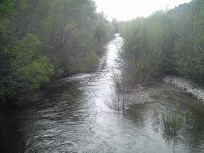
One March afternoon Mike and I decided to better explore Garland Ranch Regional Park. We started on Waterfall Trail and headed up past Mesa pond to the back side of Snively's Ridge. At that point, we decided to press on all the way to the highest point in the park, 2,030'! The parking lot is at 200'. You have to cross the Carmel River to enter the park. With all of the rain the region has had this season the river is VERY full. The river bed is completely dry come mid-late summer.
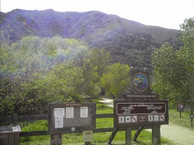
The main entrance to the park. The feature in the background is Snively's Ridge. We hiked all the way up to the top.
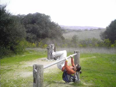
Horsin' around at Mesa Pond!
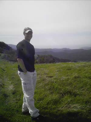
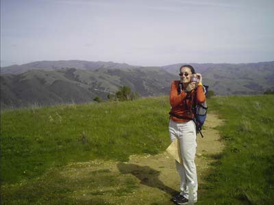
Here we are, on the top of Garland Ranch Regional Park -- 2,030'.
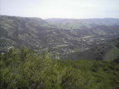
The view looking NE from midway up the back side of Snively's Ridge.
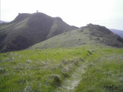
At the summit looking SW toward Pinyon Peak (~2,400'). We really really wanted to hike up onto that peak. But we'd seen signs earlier to stay on trails as all surrounding property was private. Also, according to the map, the peak and tower are not within park boundaries. We checked with the ranger when we got down and we had made the right/legal decision (though she indicated people hike up it all the time!).
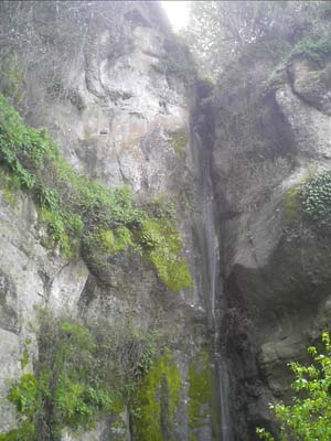
The so named waterfall! In the summer the rock is completely dry, not even a drizzle.
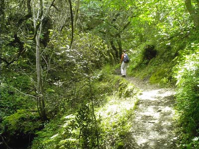
The general look and feel of Waterfall Trail! Gorgeous!