
Tour de Monterey
Big Sur
Big Sur
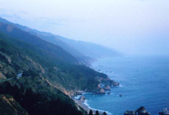
The famous Big Sur coast along Highway 1 just at dusk.
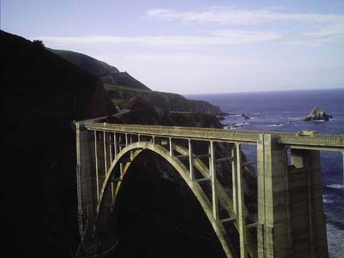
The famed Bixby Bridge. It was built in 1932 to allow easier access to the other side of this fairly wide expanse along Hwy 1. Before then, travellers had to use the Old Coast Road, a 10 mile dirt road that twists and turns down into river valleys and winds up onto lofty ridges. A beautiful road ... but a lot of hard work on a bike!
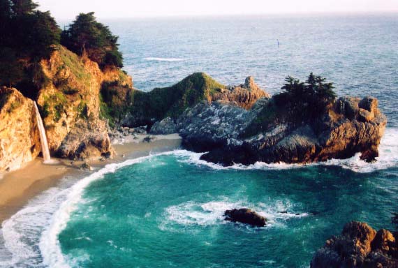
The always gorgeous McWay Falls at Julia Pfieffer Burns State Park.
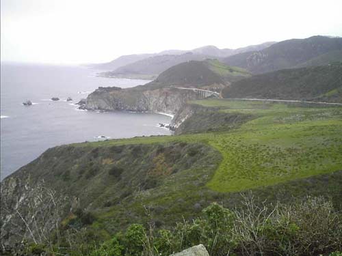
A top Hurricane Point along Hwy 1 looking north toward the Bixby Bridge. This spot is so named because NW winds can really get rippin' here!
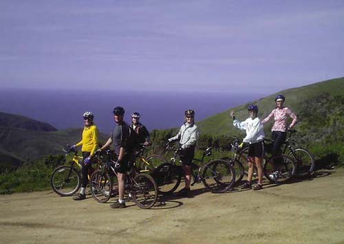
Along the Old Coast Road -- we just summited the Sierra Grade, ~1,200+'.
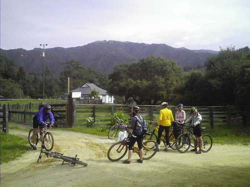
Somewhere along the climb to the 2nd summit. That large feature in the background is Sierra Peak. That's what we had just climbed up and over!!
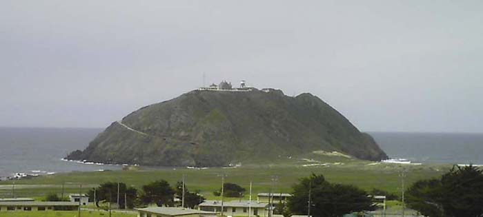
Point Sur -- located on Hwy 1 south of the Bixby Bridge. There is a former (?) Naval facility here, an operational lighthouse, and a handful of instrumented towers.